
Thank you for supporting this site ❤️
Make a donation
Make a donation
Ladang Peris topographic map
Click on the map to display elevation.
Thank you for supporting this site ❤️
Make a donation
Make a donation
About this map
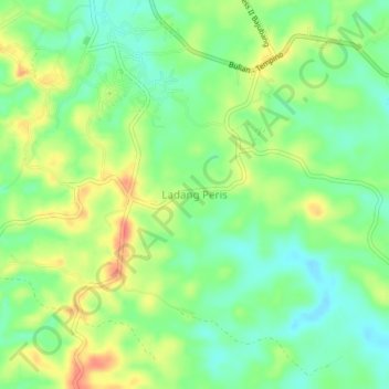
Name: Ladang Peris topographic map, elevation, terrain.
Location: Ladang Peris, Batanghari, Jambi, Sumatra, Indonesia (-1.81968 103.31959 -1.77968 103.35959)
Average elevation: 62 m
Minimum elevation: 38 m
Maximum elevation: 94 m
Thank you for supporting this site ❤️
Make a donation
Make a donation
Other topographic maps
Click on a map to view its topography, its elevation and its terrain.