
Thank you for supporting this site ❤️
Make a donation
Make a donation
Cathedral City topographic map
Click on the map to display elevation.
Thank you for supporting this site ❤️
Make a donation
Make a donation
About this map
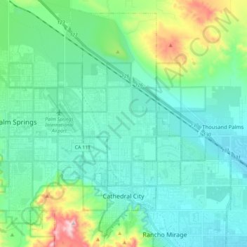
Name: Cathedral City topographic map, elevation, terrain.
Average elevation: 175 m
Minimum elevation: 58 m
Maximum elevation: 658 m
Thank you for supporting this site ❤️
Make a donation
Make a donation
Other topographic maps
Click on a map to view its topography, its elevation and its terrain.
Agua Caliente Park
United States > California > Riverside County > Cathedral City
Average elevation: 121 m