
Lierderholthuis topographic map
Interactive map
Click on the map to display elevation.
About this map
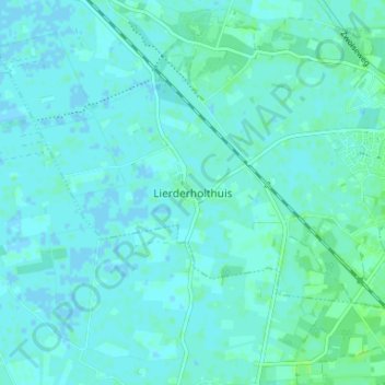
Name: Lierderholthuis topographic map, elevation, terrain.
Location: Lierderholthuis, Overijssel, Nederland, 8144, Nederland (52.41603 6.17352 52.45603 6.21352)
Average elevation: 2 m
Minimum elevation: -1 m
Maximum elevation: 7 m