
Pâturage topographic map
Interactive map
Click on the map to display elevation.
About this map
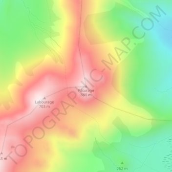
Name: Pâturage topographic map, elevation, terrain.
Average elevation: 372 m
Minimum elevation: 52 m
Maximum elevation: 693 m
Other topographic maps
Click on a map to view its topography, its elevation and its terrain.
Île de la Possession
France > Terres australes et antarctiques françaises
Île de la Possession, Archipel des Crozet, Terres australes et antarctiques françaises, France
Average elevation: 138 m