
Thank you for supporting this site ❤️
Make a donation
Make a donation
Bois de Gravière topographic map
Click on the map to display elevation.
Thank you for supporting this site ❤️
Make a donation
Make a donation
About this map
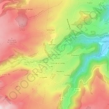
Name: Bois de Gravière topographic map, elevation, terrain.
Average elevation: 1,053 m
Minimum elevation: 787 m
Maximum elevation: 1,258 m
Thank you for supporting this site ❤️
Make a donation
Make a donation
Other topographic maps
Click on a map to view its topography, its elevation and its terrain.
Saint-Anastaise
France > Auvergne-Rhône-Alpes > Puy-de-Dôme > Besse-et-Saint-Anastaise
Average elevation: 1,092 m
Besse
France > Auvergne-Rhône-Alpes > Puy-de-Dôme > Besse-et-Saint-Anastaise
Average elevation: 1,225 m
63610
France > Auvergne-Rhône-Alpes > Puy-de-Dôme > Besse-et-Saint-Anastaise
Average elevation: 1,117 m
Saint-Anastaise
France > Auvergne-Rhône-Alpes > Puy-de-Dôme > Besse-et-Saint-Anastaise
Average elevation: 1,092 m
Thank you for supporting this site ❤️
Make a donation
Make a donation