
Scalotta topographic map
Interactive map
Click on the map to display elevation.
About this map
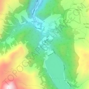
Name: Scalotta topographic map, elevation, terrain.
Location: Scalotta, Sur, Surses, Albula, Grisons, 7456, Suisse (46.49376 9.60779 46.53376 9.64779)
Average elevation: 1,911 m
Minimum elevation: 1,425 m
Maximum elevation: 2,765 m