
Talmberk - zřícenina/ ruins topographic map
Interactive map
Click on the map to display elevation.
Talmberk - zřícenina/ ruins
Die Ruine der Höhenburg befindet sich auf einem leicht über dem Tal liegenden Bergabsatz mitten im Ort Talmberk. Im Norden liegt der Bergrücken; nach Osten, Süden und Westen fällt das Gelände steil ab.
About this map
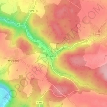
Name: Talmberk - zřícenina/ ruins topographic map, elevation, terrain.
Average elevation: 405 m
Minimum elevation: 293 m
Maximum elevation: 456 m