
Warren County topographic map
Interactive map
Click on the map to display elevation.
About this map
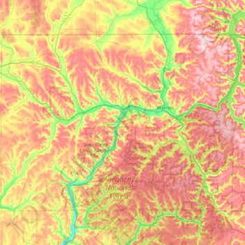
Name: Warren County topographic map, elevation, terrain.
Location: Warren County, Pennsylvanie, États-Unis d'Amérique (41.62386 -79.61293 41.99972 -78.91567)
Average elevation: 500 m
Minimum elevation: 321 m
Maximum elevation: 684 m