
Catriel topographic map
Interactive map
Click on the map to display elevation.
About this map
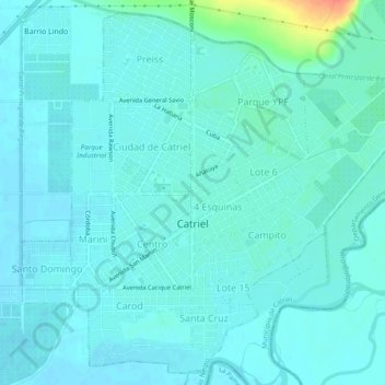
Name: Catriel topographic map, elevation, terrain.
Average elevation: 323 m
Minimum elevation: 316 m
Maximum elevation: 364 m
Other topographic maps
Click on a map to view its topography, its elevation and its terrain.
Cipolletti
Argentinië > Río Negro > Cipolletti
Cipolletti, Departamento General Roca, Río Negro, R8324, Argentinië
Average elevation: 268 m