
Serles topographic map
Interactive map
Click on the map to display elevation.
About this map
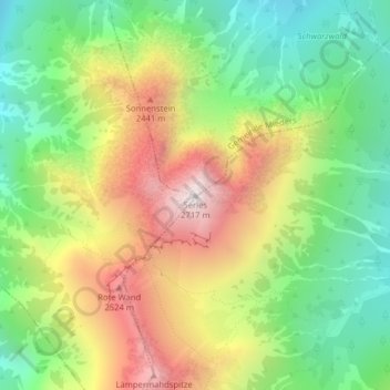
Name: Serles topographic map, elevation, terrain.
Average elevation: 2,036 m
Minimum elevation: 1,558 m
Maximum elevation: 2,685 m
Other topographic maps
Click on a map to view its topography, its elevation and its terrain.
Stubaital
Österreich > Tirol > Bezirk Innsbruck-Land > Marktgemeinde Fulpmes
Stubaital, Marktgemeinde Fulpmes, Bezirk Innsbruck-Land, Tirol, 6167, Österreich
Average elevation: 1,590 m