
Thank you for supporting this site ❤️
Make a donation
Make a donation
Ban Bueng topographic map
Click on the map to display elevation.
Thank you for supporting this site ❤️
Make a donation
Make a donation
About this map
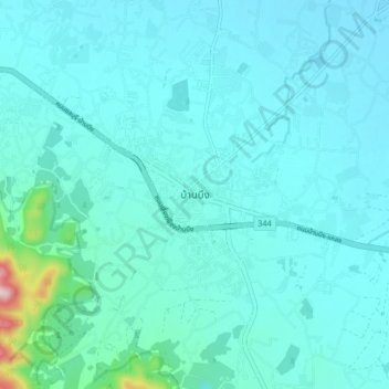
Name: Ban Bueng topographic map, elevation, terrain.
Average elevation: 73 m
Minimum elevation: 31 m
Maximum elevation: 431 m
Thank you for supporting this site ❤️
Make a donation
Make a donation