
Korath Range topographic map
Interactive map
Click on the map to display elevation.
About this map
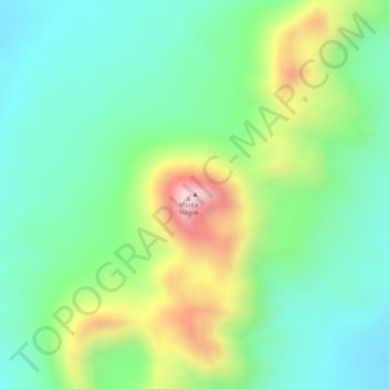
Name: Korath Range topographic map, elevation, terrain.
Location: Korath Range, South Omo, Nations du Sud, Éthiopie (5.10073 35.88398 5.10083 35.88408)
Average elevation: 633 m
Minimum elevation: 491 m
Maximum elevation: 901 m
Other topographic maps
Click on a map to view its topography, its elevation and its terrain.
ወልቂጤ / Welkite
Éthiopie > Nations du Sud > ወልቂጤ / Welkite
ወልቂጤ / Welkite, Guraghe, Nations du Sud, 123, Éthiopie
Average elevation: 1,807 m
አርባ ምንጭ / Arba Minch
Éthiopie > Nations du Sud > አርባ ምንጭ / Arba Minch
አርባ ምንጭ / Arba Minch, Gamo Gofa, Nations du Sud, 40, Éthiopie
Average elevation: 1,455 m