
Huaca topographic map
Interactive map
Click on the map to display elevation.
About this map
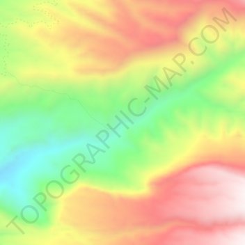
Name: Huaca topographic map, elevation, terrain.
Location: Huaca, Provincia del Tamarugal, Región de Tarapacá, Chile (-20.23004 -69.16683 -20.19004 -69.12683)
Average elevation: 2,911 m
Minimum elevation: 2,502 m
Maximum elevation: 3,306 m