
Bahay topographic map
Interactive map
Click on the map to display elevation.
About this map
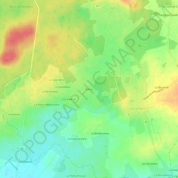
Name: Bahay topographic map, elevation, terrain.
Location: Bahay, Mayenne, Pays de la Loire, Metropolitan France, France (48.17325 -0.46818 48.21325 -0.42818)
Average elevation: 109 m
Minimum elevation: 82 m
Maximum elevation: 140 m