
Tuxedo Industrial topographic map
Interactive map
Click on the map to display elevation.
About this map
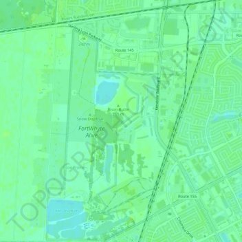
Name: Tuxedo Industrial topographic map, elevation, terrain.
Location: Tuxedo Industrial, Winnipeg, Manitoba, Canadá (49.81438 -97.23052 49.84865 -97.19674)
Average elevation: 235 m
Minimum elevation: 229 m
Maximum elevation: 240 m
Other topographic maps
Click on a map to view its topography, its elevation and its terrain.