
Saginaw topographic map
Interactive map
Click on the map to display elevation.
About this map
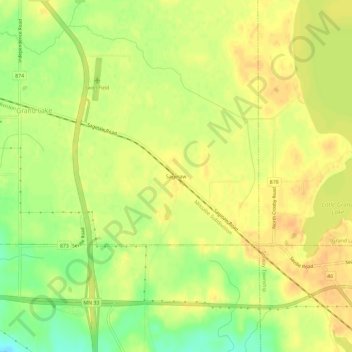
Name: Saginaw topographic map, elevation, terrain.
Location: Saginaw, Saint Louis County, Minnesota, 55779, USA (46.83911 -92.46436 46.87911 -92.42436)
Average elevation: 408 m
Minimum elevation: 387 m
Maximum elevation: 418 m