
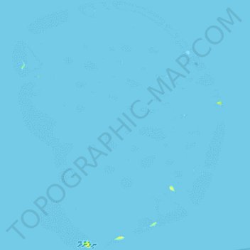
Atoll Nilandhe Nord topographic map
Interactive map
Click on the map to display elevation.
About this map
Name: Atoll Nilandhe Nord topographic map, elevation, terrain.
Location: Atoll Nilandhe Nord, Faafu, Maldives (3.04963 72.80605 3.32791 73.04312)
Average elevation: 0 m
Minimum elevation: 0 m
Maximum elevation: 11 m
Other topographic maps
Click on a map to view its topography, its elevation and its terrain.