
Kakamoeka topographic map
Interactive map
Click on the map to display elevation.
About this map
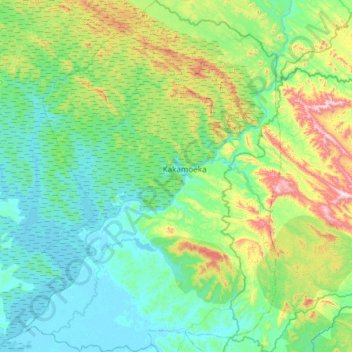
Name: Kakamoeka topographic map, elevation, terrain.
Location: Kakamoeka, Kouilou Department, Congo-Brazzaville (-4.44433 11.77987 -3.84388 12.22537)
Average elevation: 164 m
Minimum elevation: 1 m
Maximum elevation: 793 m