
Manisa topographic map
Interactive map
Click on the map to display elevation.
About this map
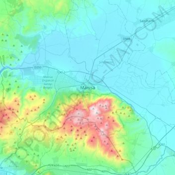
Name: Manisa topographic map, elevation, terrain.
Location: Manisa, Şehzadeler, Manisa, Ägäisregion, 45010, Türkei (38.45550 27.26557 38.77550 27.58557)
Average elevation: 260 m
Minimum elevation: 17 m
Maximum elevation: 1,499 m