
Kurdistan topographic map
Interactive map
Click on the map to display elevation.
About this map
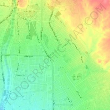
Name: Kurdistan topographic map, elevation, terrain.
Location: Kurdistan, Kirkuk, 55004, Iraq (35.43091 44.39033 35.47091 44.43033)
Average elevation: 341 m
Minimum elevation: 310 m
Maximum elevation: 381 m