
Kampong Lumut topographic map
Interactive map
Click on the map to display elevation.
About this map
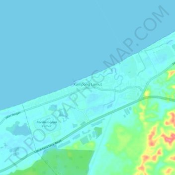
Name: Kampong Lumut topographic map, elevation, terrain.
Location: Kampong Lumut, Mukim Liang, Belait District, Brunei (4.64017 114.40769 4.67687 114.49926)
Average elevation: 9 m
Minimum elevation: -1 m
Maximum elevation: 82 m