
Thank you for supporting this site ❤️
Make a donation
Make a donation
Rangapahar WLS topographic map
Click on the map to display elevation.
Thank you for supporting this site ❤️
Make a donation
Make a donation
About this map
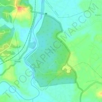
Name: Rangapahar WLS topographic map, elevation, terrain.
Location: Rangapahar WLS, Chumukedima, Dimapur, Nagaland, India (25.84753 93.71188 25.86660 93.72691)
Average elevation: 159 m
Minimum elevation: 144 m
Maximum elevation: 189 m
Thank you for supporting this site ❤️
Make a donation
Make a donation
Other topographic maps
Click on a map to view its topography, its elevation and its terrain.