
La Toba topographic map
Interactive map
Click on the map to display elevation.
About this map
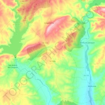
Name: La Toba topographic map, elevation, terrain.
Location: La Toba, Guadalajara, Castile-La Mancha, Spain (40.97118 -3.07390 41.05203 -2.95466)
Average elevation: 924 m
Minimum elevation: 800 m
Maximum elevation: 1,092 m