
Vejby topographic map
Interactive map
Click on the map to display elevation.
About this map
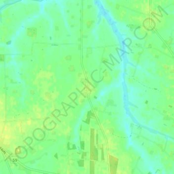
Name: Vejby topographic map, elevation, terrain.
Location: Vejby, Hjørring Kommune, Region Nordjütland, Dänemark (57.35960 9.85360 57.39960 9.89360)
Average elevation: 15 m
Minimum elevation: 7 m
Maximum elevation: 25 m