
Taku-shima Island topographic map
Interactive map
Click on the map to display elevation.
About this map
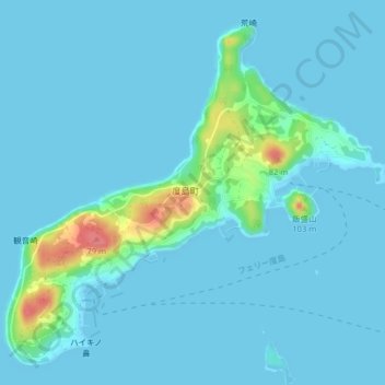
Name: Taku-shima Island topographic map, elevation, terrain.
Location: Taku-shima Island, Hirado, Nagasaki Prefecture, Japan (33.42450 129.50519 33.45438 129.54526)
Average elevation: 8 m
Minimum elevation: 0 m
Maximum elevation: 75 m