
Mesra topographic map
Interactive map
Click on the map to display elevation.
About this map
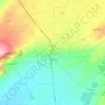
Name: Mesra topographic map, elevation, terrain.
Location: Mesra, daïra Mesra, Mostaganem, 27018, Algérie (35.79706 0.11632 35.88977 0.21941)
Average elevation: 138 m
Minimum elevation: 38 m
Maximum elevation: 324 m