
Metz topographic map
Interactive map
Click on the map to display elevation.
About this map
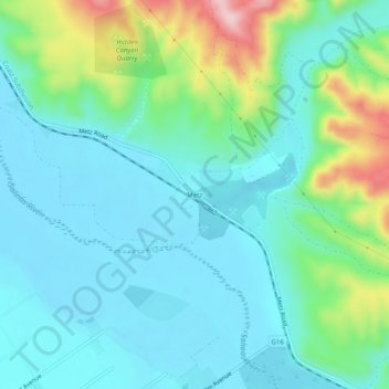
Name: Metz topographic map, elevation, terrain.
Location: Metz, Monterey County, Californie, États-Unis d'Amérique (36.33497 -121.23159 36.37497 -121.19159)
Average elevation: 120 m
Minimum elevation: 63 m
Maximum elevation: 314 m