
Kgatleng District topographic map
Interactive map
Click on the map to display elevation.
About this map
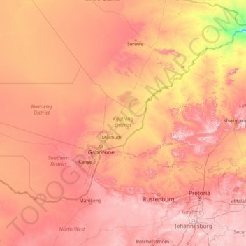
Name: Kgatleng District topographic map, elevation, terrain.
Location: Kgatleng District, Botswana (-26.70478 23.86048 -21.58478 28.98048)
Average elevation: 1,119 m
Minimum elevation: 529 m
Maximum elevation: 1,929 m