
Kayu Ara topographic map
Interactive map
Click on the map to display elevation.
About this map
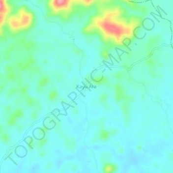
Name: Kayu Ara topographic map, elevation, terrain.
Location: Kayu Ara, Menyuke, Landak, West Kalimantan, Indonesia (0.62344 109.65532 0.66344 109.69532)
Average elevation: 72 m
Minimum elevation: 49 m
Maximum elevation: 167 m