
Thank you for supporting this site ❤️
Make a donation
Make a donation
Unterkotzau topographic map
Click on the map to display elevation.
Thank you for supporting this site ❤️
Make a donation
Make a donation
About this map
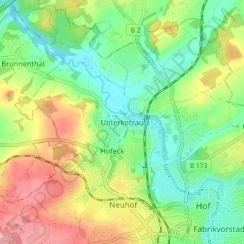
Name: Unterkotzau topographic map, elevation, terrain.
Location: Unterkotzau, Hof, Bayern, 95030, Deutschland (50.31566 11.87703 50.35566 11.91703)
Average elevation: 509 m
Minimum elevation: 463 m
Maximum elevation: 577 m
Thank you for supporting this site ❤️
Make a donation
Make a donation
Other topographic maps
Click on a map to view its topography, its elevation and its terrain.