
Bad Hindelang topographic map
Interactive map
Click on the map to display elevation.
About this map
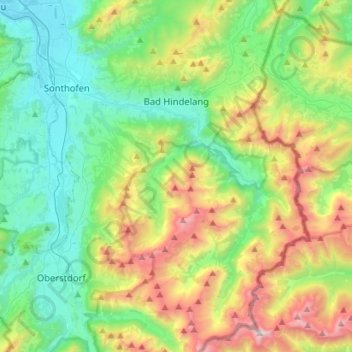
Name: Bad Hindelang topographic map, elevation, terrain.
Location: Bad Hindelang, Landkreis Oberallgäu, Bavière, Allemagne (47.37032 10.32194 47.56122 10.47600)
Average elevation: 1,274 m
Minimum elevation: 713 m
Maximum elevation: 2,561 m