
Platanales topographic map
Interactive map
Click on the map to display elevation.
About this map
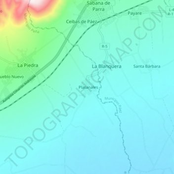
Name: Platanales topographic map, elevation, terrain.
Location: Platanales, Distrito Yaritagua, Yaracuy, Venezuela (10.04390 -69.08092 10.12390 -69.00092)
Average elevation: 370 m
Minimum elevation: 278 m
Maximum elevation: 976 m