
Thank you for supporting this site ❤️
Make a donation
Make a donation
Bury St Edmunds topographic map
Click on the map to display elevation.
Thank you for supporting this site ❤️
Make a donation
Make a donation
Bury St Edmunds
The name Bury is etymologically connected with borough, which has cognates in other Germanic languages such as the German burg meaning "fortress, castle"; Old Norse borg meaning "wall, castle"; and Gothic baurgs meaning "city". They all derive from Proto-Germanic *burgs meaning "fortress". This in turn derives from the Proto-Indo-European root *bhrgh meaning "fortified elevation", with cognates including Welsh bera ("stack") and Sanskrit bhrant- ("high, elevated building").
Thank you for supporting this site ❤️
Make a donation
Make a donation
About this map
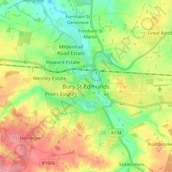
Name: Bury St Edmunds topographic map, elevation, terrain.
Average elevation: 59 m
Minimum elevation: 21 m
Maximum elevation: 107 m
Thank you for supporting this site ❤️
Make a donation
Make a donation