Geolocate

Weissenbühl topographic map

Interactive map

Click on the map to display elevation.

About this map

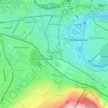
Name: Weissenbühl topographic map, elevation, terrain.

Location: Weissenbühl, Stadtteil III, Berne, Verwaltungskreis Bern-Mittelland, Verwaltungsregion Bern-Mittelland, Berne, 3007, Suisse (46.93074 7.42345 46.94176 7.44047)

Average elevation: 560 m

Minimum elevation: 496 m

Maximum elevation: 726 m

Other topographic maps

Click on a map to view its topography, its elevation and its terrain.

Matte

Suisse > Berne > Berne

Matte, Stadtteil I, Berne, Verwaltungskreis Bern-Mittelland, Verwaltungsregion Bern-Mittelland, Berne, 3011, Suisse

Average elevation: 548 m

Stadtbach

Suisse > Berne > Berne

Stadtbach, Berne, Verwaltungskreis Bern-Mittelland, Verwaltungsregion Bern-Mittelland, Berne, 3010, Suisse

Average elevation: 555 m

Grünes Quartier

Suisse > Berne > Berne

Grünes Quartier, Stadtteil I, Berne, Verwaltungskreis Bern-Mittelland, Verwaltungsregion Bern-Mittelland, Berne, Suisse

Average elevation: 546 m