
Thank you for supporting this site ❤️
Make a donation
Make a donation
Laguna topographic map
Click on the map to display elevation.
Thank you for supporting this site ❤️
Make a donation
Make a donation
About this map
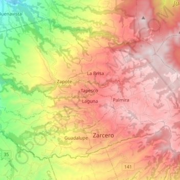
Name: Laguna topographic map, elevation, terrain.
Location: Laguna, Cantón Zarcero, Alajuela Province, 21102, Costa Rica (10.18818 -84.51831 10.24924 -84.38405)
Average elevation: 1,596 m
Minimum elevation: 714 m
Maximum elevation: 2,299 m
Thank you for supporting this site ❤️
Make a donation
Make a donation