
Khairabad topographic map
Interactive map
Click on the map to display elevation.
About this map
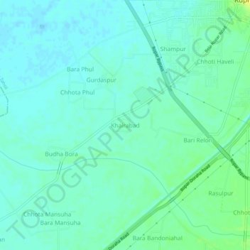
Name: Khairabad topographic map, elevation, terrain.
Location: Khairabad, Rupnagar Tahsil, Rupnagar, Punjab, India (30.92872 76.48274 30.96872 76.52274)
Average elevation: 270 m
Minimum elevation: 264 m
Maximum elevation: 284 m
Other topographic maps
Click on a map to view its topography, its elevation and its terrain.
Bari Haveli
India > Punjab > Rupnagar Tahsil
Bari Haveli, Rupnagar Tahsil, Rupnagar, Punjab, India
Average elevation: 273 m
Thalli
India > Punjab > Rupnagar Tahsil > Thalli
Thalli, Rupnagar Tahsil, Rupnagar, Punjab, 140113, India
Average elevation: 288 m