
Bungahan topographic map
Interactive map
Click on the map to display elevation.
About this map
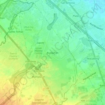
Name: Bungahan topographic map, elevation, terrain.
Location: Bungahan, Biñan, Laguna, Calabarzon, 4024, Philippines (14.28893 121.06523 14.32893 121.10523)
Average elevation: 19 m
Minimum elevation: 4 m
Maximum elevation: 37 m