
Alle topographic map
Interactive map
Click on the map to display elevation.
About this map
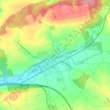
Name: Alle topographic map, elevation, terrain.
Location: Alle, District de Porrentruy, Jura, 2942, Zwitserland (47.41026 7.09988 47.44502 7.15292)
Average elevation: 485 m
Minimum elevation: 436 m
Maximum elevation: 543 m