
Thank you for supporting this site ❤️
Make a donation
Make a donation
Callejas topographic map
Click on the map to display elevation.
Thank you for supporting this site ❤️
Make a donation
Make a donation
About this map
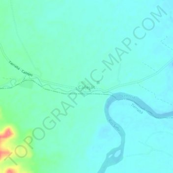
Name: Callejas topographic map, elevation, terrain.
Location: Callejas, Valencia, Alto Sinú, Córdoba, RAP Caribe, Colombia (8.12769 -76.16445 8.16769 -76.12445)
Average elevation: 60 m
Minimum elevation: 48 m
Maximum elevation: 116 m
Thank you for supporting this site ❤️
Make a donation
Make a donation