
Thank you for supporting this site ❤️
Make a donation
Make a donation
Den Andel topographic map
Click on the map to display elevation.
Thank you for supporting this site ❤️
Make a donation
Make a donation
About this map
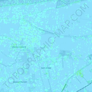
Name: Den Andel topographic map, elevation, terrain.
Location: Den Andel, Het Hogeland, Groningen, Netherlands (53.37577 6.48003 53.42642 6.54883)
Average elevation: 0 m
Minimum elevation: -3 m
Maximum elevation: 4 m
Thank you for supporting this site ❤️
Make a donation
Make a donation
Other topographic maps
Click on a map to view its topography, its elevation and its terrain.