
Thank you for supporting this site ❤️
Make a donation
Make a donation
Ross Township topographic map
Click on the map to display elevation.
Thank you for supporting this site ❤️
Make a donation
Make a donation
About this map
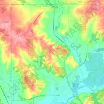
Name: Ross Township topographic map, elevation, terrain.
Location: Ross Township, Butler County, Ohio, 45061, United States (39.30474 -84.70335 39.39516 -84.58955)
Average elevation: 211 m
Minimum elevation: 158 m
Maximum elevation: 285 m
Thank you for supporting this site ❤️
Make a donation
Make a donation
Other topographic maps
Click on a map to view its topography, its elevation and its terrain.
Thank you for supporting this site ❤️
Make a donation
Make a donation
Thank you for supporting this site ❤️
Make a donation
Make a donation