
Siddapura topographic map
Click on the map to display elevation.
About this map
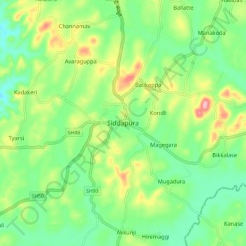
Name: Siddapura topographic map, elevation, terrain.
Location: Siddapura, Siddapura taluk, Uttara Kannada, Karnataka, India (14.30096 74.85243 14.38096 74.93243)
Average elevation: 581 m
Minimum elevation: 532 m
Maximum elevation: 671 m