
Thank you for supporting this site ❤️
Make a donation
Make a donation
Catahoula topographic map
Click on the map to display elevation.
Thank you for supporting this site ❤️
Make a donation
Make a donation
About this map
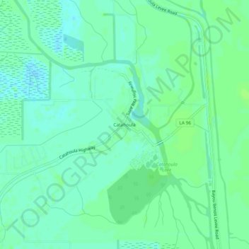
Name: Catahoula topographic map, elevation, terrain.
Location: Catahoula, Saint Martin Parish, Louisiana, United States (30.19464 -91.72900 30.23464 -91.68900)
Average elevation: 5 m
Minimum elevation: -2 m
Maximum elevation: 9 m
Thank you for supporting this site ❤️
Make a donation
Make a donation
Other topographic maps
Click on a map to view its topography, its elevation and its terrain.