
Lantik topographic map
Click on the map to display elevation.
About this map
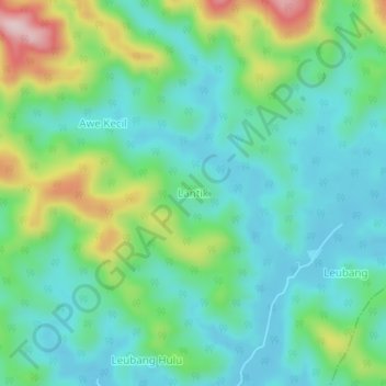
Name: Lantik topographic map, elevation, terrain.
Location: Lantik, Teupah Barat, Simeulue, Aceh, Sumatra, Indonesia (2.43832 96.26088 2.47832 96.30088)
Average elevation: 84 m
Minimum elevation: 6 m
Maximum elevation: 292 m