
Make a donation
Layyah topographic map
Click on the map to display elevation.
Make a donation
Layyah
It lies between 30–45 to 31–24 degree north latitudes and 70–44 to 71–50 degree east longitudes. The area consists of a semi-rectangular block of sandy land between the Indus River and the Chenab River in Sindh Sagar Doab. Layyah is situated at an average elevation of 143m above sea level. The total area covered by the district is 6,291 km2 with a width from east to west of 88 km and a length from north to south of 72 km.
Make a donation
About this map
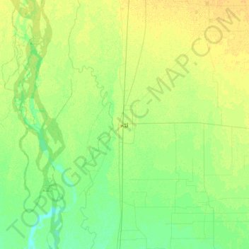
Name: Layyah topographic map, elevation, terrain.
Location: Layyah, Layyah Tehsil, Punjab, 32000, Pakistan (30.80487 70.78560 31.12487 71.10560)
Average elevation: 148 m
Minimum elevation: 139 m
Maximum elevation: 157 m
Make a donation
Other topographic maps
Click on a map to view its topography, its elevation and its terrain.
Make a donation
Gujujranwala City Tehsil
Gujranwala sits at the heart of the Rechna Doab, a strip of land between the Chenab in the north, and Ravi River in the south. Gujranwala is also part of the Majha, a historical region of northern Punjab. The city was built upon the plains of Punjab, and the surrounding region is an unbroken plain devoid of…
Average elevation: 225 m
Make a donation