
La Ramada topographic map
Interactive map
Click on the map to display elevation.
About this map
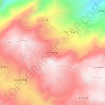
Name: La Ramada topographic map, elevation, terrain.
Location: La Ramada, Cungunday, Charat, Otuzco, La Libertad, Peru (-7.86812 -78.48755 -7.82812 -78.44755)
Average elevation: 3,181 m
Minimum elevation: 2,372 m
Maximum elevation: 3,559 m