
Thank you for supporting this site ❤️
Make a donation
Make a donation
The Hill topographic map
Click on the map to display elevation.
Thank you for supporting this site ❤️
Make a donation
Make a donation
About this map
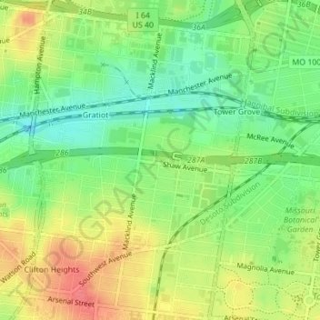
Name: The Hill topographic map, elevation, terrain.
Location: The Hill, Saint Louis, Missouri, United States (38.61099 -90.28847 38.62589 -90.26497)
Average elevation: 157 m
Minimum elevation: 129 m
Maximum elevation: 188 m
Thank you for supporting this site ❤️
Make a donation
Make a donation
Other topographic maps
Click on a map to view its topography, its elevation and its terrain.