
Anderson County topographic map
Interactive map
Click on the map to display elevation.
About this map
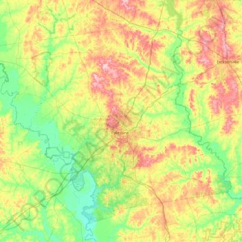
Name: Anderson County topographic map, elevation, terrain.
Location: Anderson County, Texas, Estados Unidos de América (31.50367 -96.06480 32.08448 -95.25888)
Average elevation: 117 m
Minimum elevation: 53 m
Maximum elevation: 233 m