
Thank you for supporting this site ❤️
Make a donation
Make a donation
Indon Ki Dhani topographic map
Click on the map to display elevation.
Thank you for supporting this site ❤️
Make a donation
Make a donation
About this map
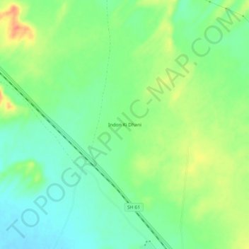
Name: Indon Ki Dhani topographic map, elevation, terrain.
Location: Indon Ki Dhani, Lohawat Tehsil, Phalodi, Rajasthan, India (26.81399 72.75421 26.85399 72.79421)
Average elevation: 331 m
Minimum elevation: 311 m
Maximum elevation: 361 m
Thank you for supporting this site ❤️
Make a donation
Make a donation