
Pendajam topographic map
Click on the map to display elevation.
About this map
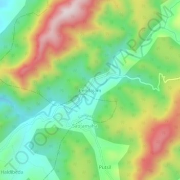
Name: Pendajam topographic map, elevation, terrain.
Location: Pendajam, Pottangi, Koraput, Odisha, India (18.70055 82.96820 18.74055 83.00820)
Average elevation: 1,143 m
Minimum elevation: 914 m
Maximum elevation: 1,501 m